What is a GeoJSON file?
GeoJSON is an open JSON-based format (RFC 7946) for geographic features: points, lines, polygons and their multi-part versions, each with a free-form “properties” object. It is the lingua franca of web maps, APIs, Mapbox, Leaflet and many data pipelines.
What you see with GIS Quick Viewer
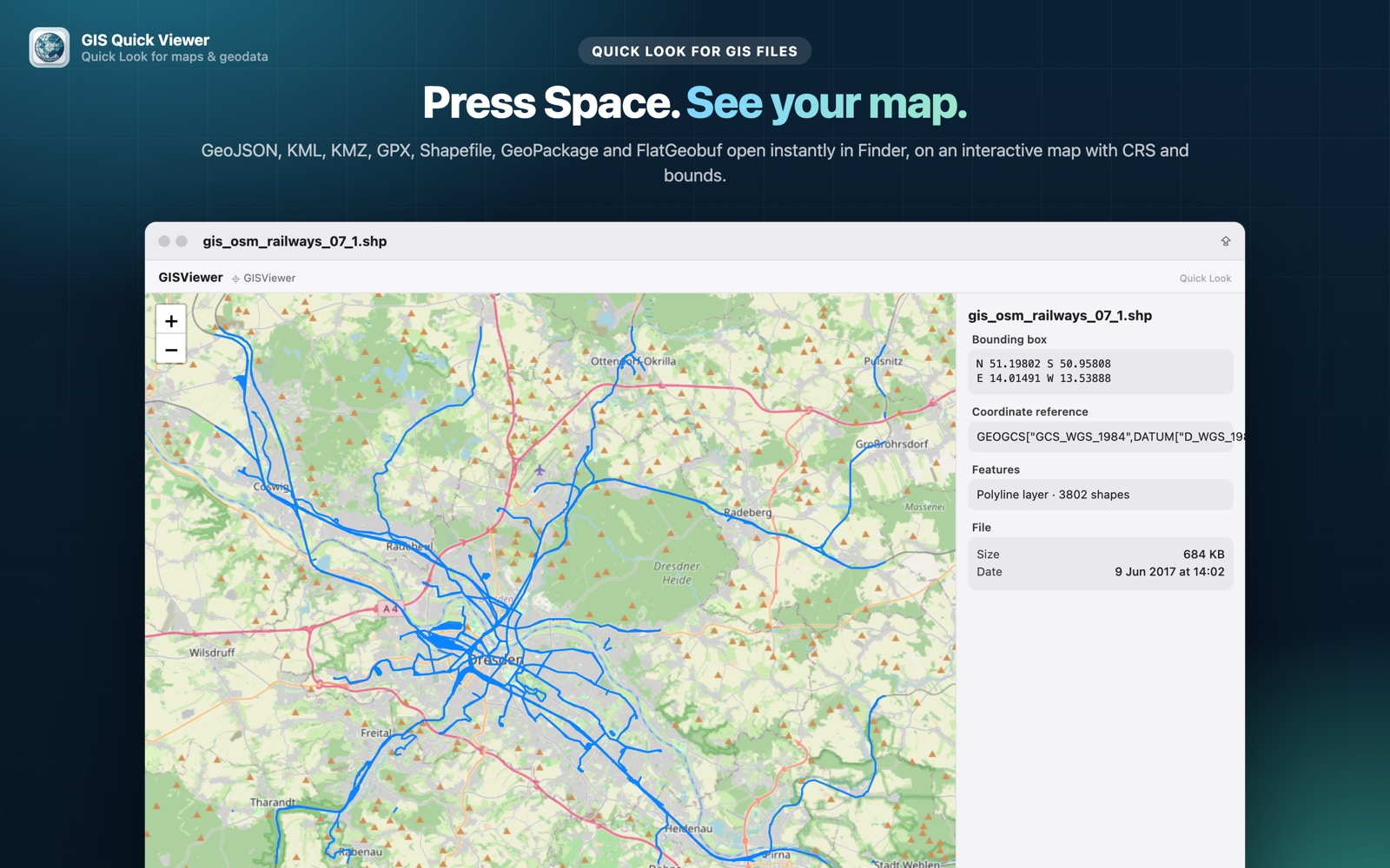
- check_circleFeatures drawn on a zoomable map instead of raw JSON
- check_circleFeature properties in an attribute preview
- check_circleBounding box and feature count
- check_circleFast native parsing, even for large FeatureCollections
How to open GeoJSON files on your Mac
-
1
Install GIS Quick Viewer
Get it from the Mac App Store and open it once so macOS registers its Quick Look extension.
-
2
Enable the extension
Open System Settings › General › Login Items & Extensions › Quick Look and make sure GIS Quick Viewer is switched on.
-
3
Select a file and press Space
In Finder, click your GeoJSON file and press the Space bar. The map, CRS, bounding box and attributes appear instantly.
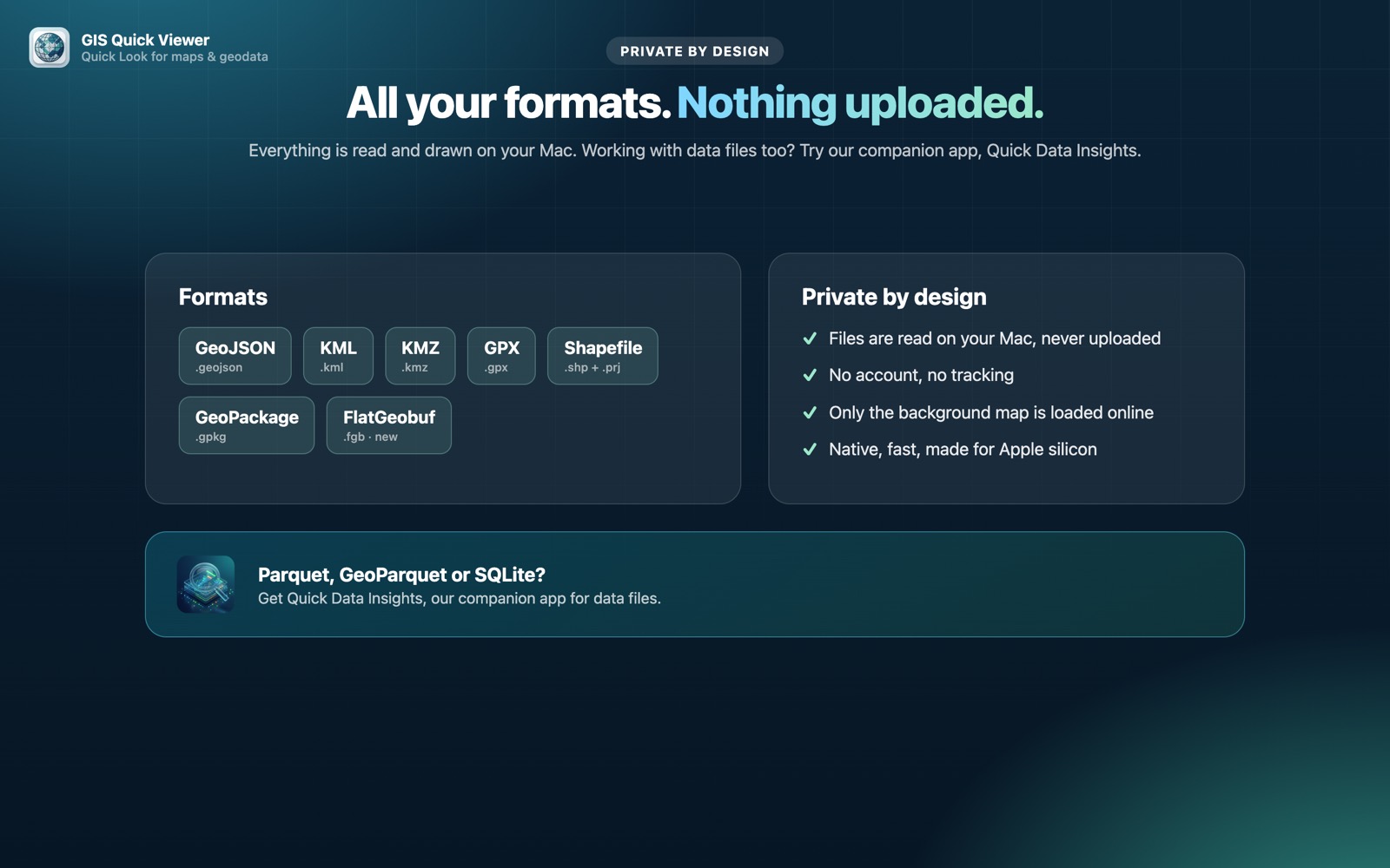
lock Your files are read on your Mac and never uploaded. Only the background map tiles are loaded from the internet.
Questions
How do I preview a GeoJSON file on a Mac?
With GIS Quick Viewer installed, select the .geojson file in Finder and press Space to see it on a map.
Can I see each feature's properties?
Yes. The attribute preview lists the properties of the features in the file.
Is my GeoJSON data sent to a server?
No. The file is parsed locally on your Mac.