What is a Shapefile file?
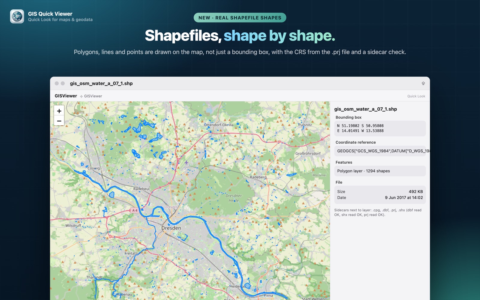
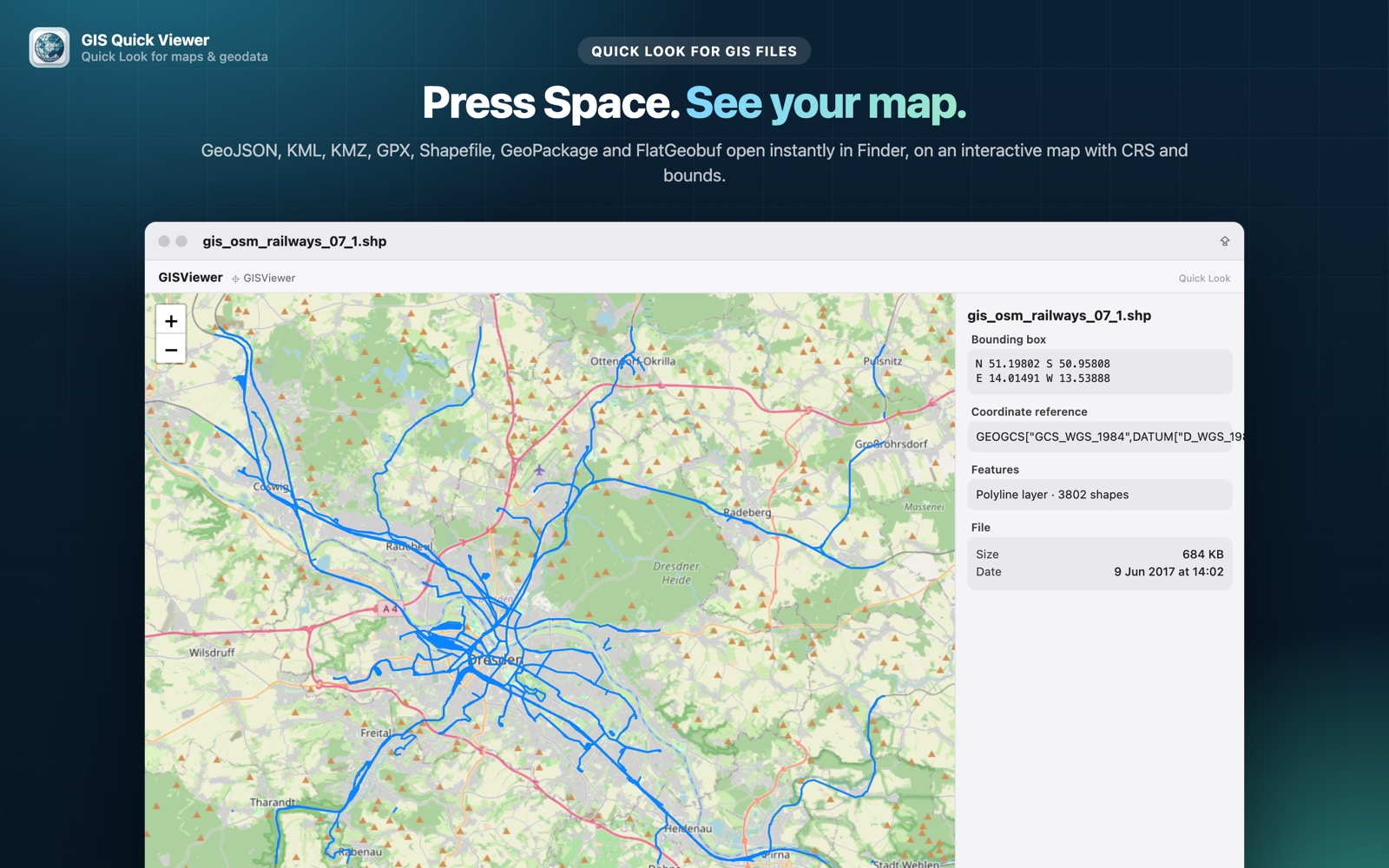
The Esri Shapefile is still the most widely exchanged vector GIS format. A “shapefile” is actually a set of files with the same name: .shp (geometry), .shx (index), .dbf (attributes) and usually .prj (coordinate system). Open data portals, government agencies and GIS teams publish shapefiles every day.
What you see with GIS Quick Viewer
- check_circleReal point, line and polygon shapes drawn on the map, not just a bounding box
- check_circleCoordinate reference read from the .prj file
- check_circleAttribute table preview from the .dbf
- check_circleFinder thumbnails that show the shapes in the file icon
How to open Shapefile files on your Mac
-
1
Install GIS Quick Viewer
Get it from the Mac App Store and open it once so macOS registers its Quick Look extension.
-
2
Enable the extension
Open System Settings › General › Login Items & Extensions › Quick Look and make sure GIS Quick Viewer is switched on.
-
3
Select a file and press Space
In Finder, click your Shapefile file and press the Space bar. The map, CRS, bounding box and attributes appear instantly.
lock Your files are read on your Mac and never uploaded. Only the background map tiles are loaded from the internet.
Questions
How can I open a shapefile on a Mac for free?
macOS can't preview shapefiles on its own. GIS Quick Viewer adds a Quick Look preview, so you just select the .shp in Finder and press Space instead of launching a full GIS suite.
Do I need the .dbf, .shx and .prj files too?
Keep the sidecar files next to the .shp. The .prj gives the coordinate system and the .dbf provides the attributes shown in the preview.
Can it handle large shapefiles?
Yes. Parsing is native Swift and optimised for Apple silicon, so typical datasets with thousands of features open in a fraction of a second.