What is a KMZ file?
A KMZ file is a ZIP archive containing a KML document (usually doc.kml) and, optionally, the icons and images it references. It is the default format when you export from Google Earth, and is popular for sharing large map layers because it is compressed.
What you see with GIS Quick Viewer
- check_circleOpens KMZ archives directly — no manual extraction
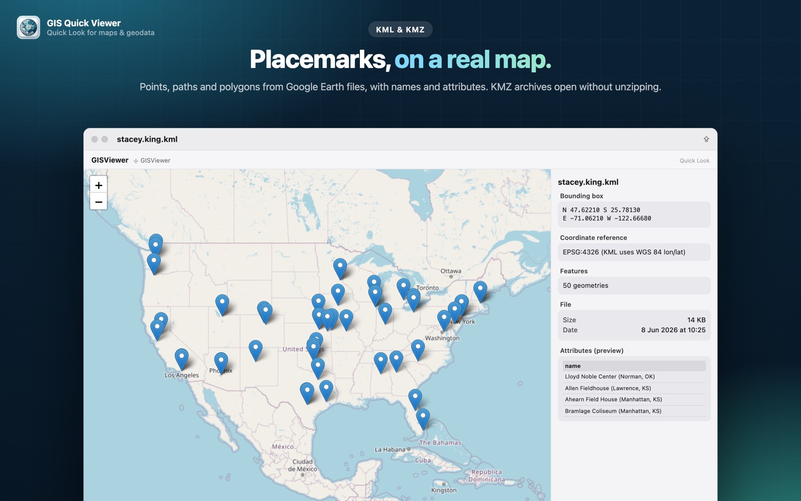
- check_circlePlacemarks, lines and polygons on an interactive map
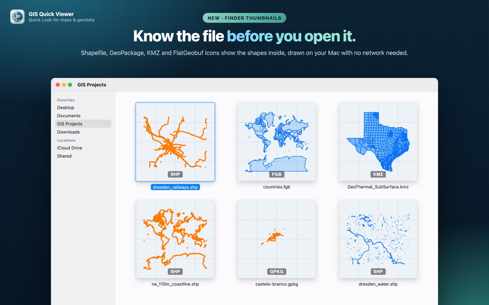
- check_circleFinder thumbnails that show the shapes inside the KMZ
- check_circleCRS, bounding box, feature count and attribute preview
How to open KMZ files on your Mac
-
1
Install GIS Quick Viewer
Get it from the Mac App Store and open it once so macOS registers its Quick Look extension.
-
2
Enable the extension
Open System Settings › General › Login Items & Extensions › Quick Look and make sure GIS Quick Viewer is switched on.
-
3
Select a file and press Space
In Finder, click your KMZ file and press the Space bar. The map, CRS, bounding box and attributes appear instantly.
lock Your files are read on your Mac and never uploaded. Only the background map tiles are loaded from the internet.
Questions
How do I open a KMZ file on a Mac?
Install GIS Quick Viewer, select the .kmz file in Finder and press Space. The KML inside the archive is read and drawn on a map.
Do I need to unzip the KMZ first?
No. GIS Quick Viewer reads the KML inside the archive for you.
Why does my KMZ show a map in its Finder icon?
GIS Quick Viewer includes a thumbnail extension that draws the shapes in the file, so you can recognise layers before opening them.