What is a GeoPackage file?
GeoPackage is an OGC standard that stores vector features (and optionally tiles) in a single SQLite database file. It is the modern, single-file replacement for shapefiles and the default format in QGIS.
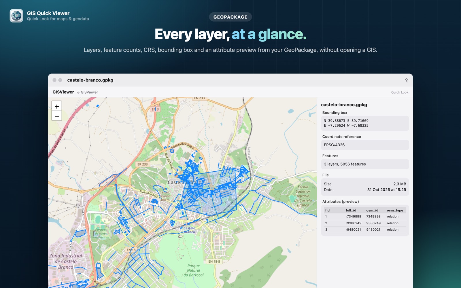
What you see with GIS Quick Viewer
- check_circleLayers, coordinate reference system and attributes
- check_circleFeatures drawn on an interactive map
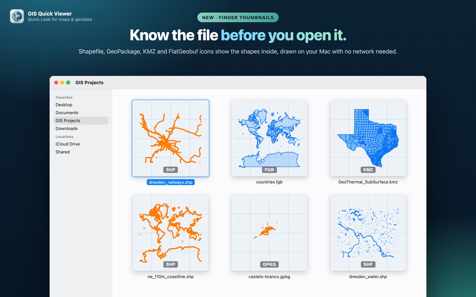
- check_circleFinder thumbnails that show the layer's shapes
- check_circleWorks with GeoPackages written by QGIS, GDAL and other tools
How to open GeoPackage files on your Mac
-
1
Install GIS Quick Viewer
Get it from the Mac App Store and open it once so macOS registers its Quick Look extension.
-
2
Enable the extension
Open System Settings › General › Login Items & Extensions › Quick Look and make sure GIS Quick Viewer is switched on.
-
3
Select a file and press Space
In Finder, click your GeoPackage file and press the Space bar. The map, CRS, bounding box and attributes appear instantly.
lock Your files are read on your Mac and never uploaded. Only the background map tiles are loaded from the internet.
Questions
How do I open a .gpkg file on a Mac?
Install GIS Quick Viewer, select the GeoPackage in Finder and press Space to preview its features on a map.
Does it show the coordinate reference system?
Yes. The CRS is shown alongside the bounding box and feature count.
Can I run SQL on a GeoPackage?
GeoPackage is SQLite under the hood. For browsing tables and running queries, see our companion app Quick Data Insights.