What is a GPX file?
GPX (GPS Exchange Format) is the universal XML format for GPS data. It holds tracks (recorded routes), routes (planned paths) and waypoints, often with timestamps and elevation. Strava, Garmin, Komoot, AllTrails and most GPS devices can export GPX.
What you see with GIS Quick Viewer
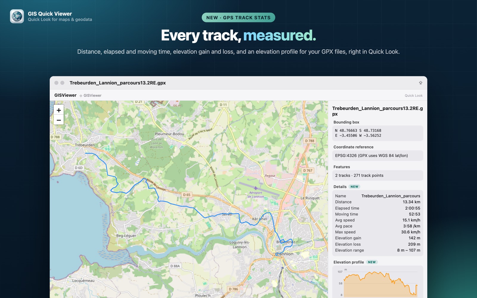
- check_circleTracks, routes and waypoints on an interactive map
- check_circleDistance, elapsed and moving time, average speed and pace, max speed
- check_circleElevation gain and loss with an elevation profile chart
- check_circleMultiple tracks and segments drawn correctly, without stray connecting lines
How to open GPX files on your Mac
-
1
Install GIS Quick Viewer
Get it from the Mac App Store and open it once so macOS registers its Quick Look extension.
-
2
Enable the extension
Open System Settings › General › Login Items & Extensions › Quick Look and make sure GIS Quick Viewer is switched on.
-
3
Select a file and press Space
In Finder, click your GPX file and press the Space bar. The map, CRS, bounding box and attributes appear instantly.
lock Your files are read on your Mac and never uploaded. Only the background map tiles are loaded from the internet.
Questions
How do I open a GPX file on a Mac?
Install GIS Quick Viewer, select the .gpx file in Finder and press Space. The track appears on a map with its statistics.
Can I see the elevation profile of a GPX track?
Yes. GPX previews include elevation gain and loss and an elevation profile chart.
Do my GPS tracks get uploaded anywhere?
No. The GPX file is read on your Mac; only the background map tiles are loaded from the internet.